
US State Department presented an AI-generated map at a Brazil health conference that misplaced Nigeria, Mozambique, and Ivory Coast. A map of Africa shown during a US State Department presentation at an international health conference in Brazil incorrectly placed and labelled every country on the continent, drawing attention from attendees and prompting widespread online discussion.The incident took place at the AIDS 2026 conference in Rio de Janeiro, where US officials were presenting updates on new health agreements. The slide appeared midway through the presentation and was later identified as containing multiple geographical errors.Reuters, which reviewed video footage of the presentation, reported that the map contained an artificial intelligence watermark indicating it had been created using OpenAI tools. The company said it was investigating the report.Countries shown in the wrong locationsThe map misplaced multiple African countries. Nigeria, where the United States has several hundred troops deployed, was shown as a landlocked country in the Sahara Desert. Mozambique was relocated to the Horn of Africa, while Ivory Coast appeared on the opposite side of the continent.Image...
US state department uses AI-generated map that mislabels African countries at Brazil conference
 1 month ago
44
1 month ago
44
Related
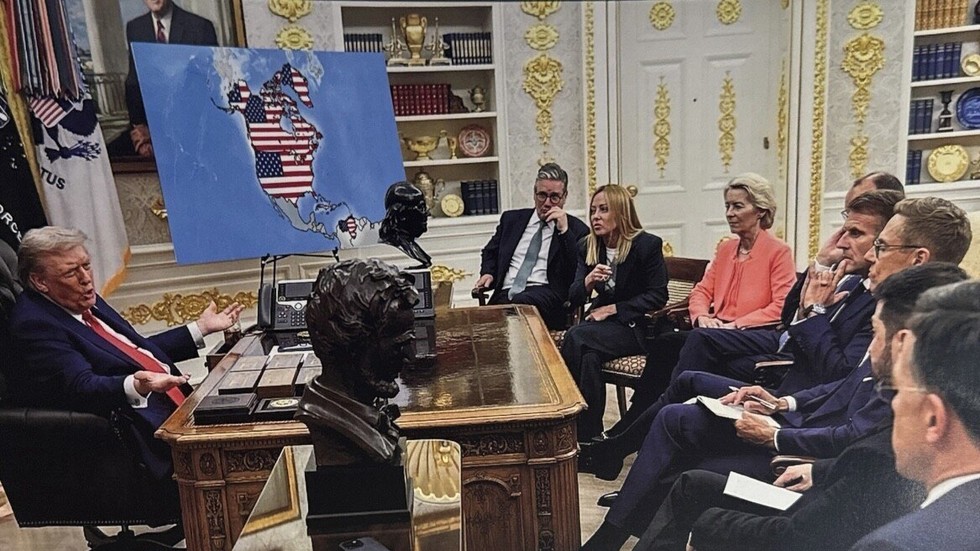
Why the world’s great powers are thinking about empire again...
59 minutes ago
1



Popular

El Niño rains in Peru disrupt access to Machu Picchu
3 weeks ago
241



 English (US) ·
 © Clint's World News 2026. All rights are reserved
