
 1 month ago
42
1 month ago
42
The widely-used Mercator map is often criticised for visually exaggerating and centralising Western nations.The United Nations has voted to adopt a new world map that more accurately reflects countries’ true sizes, a resolution sponsored by African states to right a centuries-old wrong.The “Correct the Map” resolution adopted by the UN general assembly on Friday aims to address a colonial-era injustice that has visually shrunk Africa for 450 years, shaping how the continent is perceived in media, education and policy around the world.Recommended Stories list of 3 itemslist 1 of 3‘US, China, India can all fit into Africa’: On a quest to fix the world maplist 2 of 3Apple changes name of Lake Ontario to ‘Lake America’ in maps applist 3 of 3Google Maps renames Lake Ontario after Trump’s decree on ‘Lake America’end of listThe resolution, put forward by African Union (AU) member states and the Bahamas, was backed by a vote of 164-1 with six abstentions.Togo led the AU’s campaign to limit use of the widely-used Mercator map.Developed in the 16th century by Flemish cartographer Gerardus Mercator, the projection distorts the relative size of land masses by expanding those nearer the poles. ...
Related


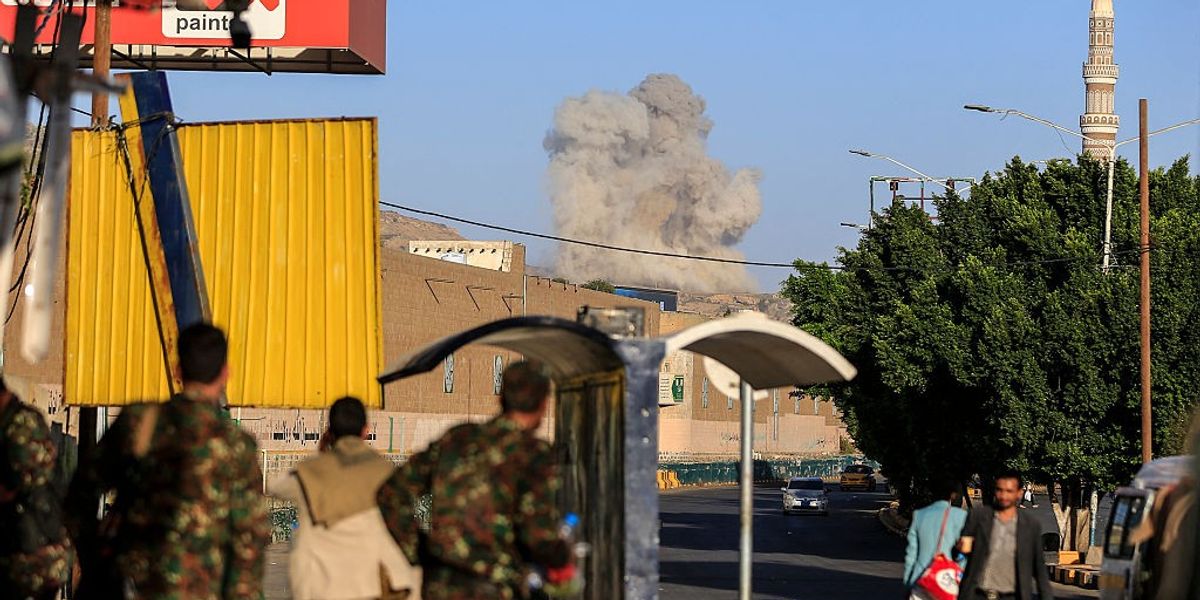
How Far Should the U.S. Go to Defend Saudi Arabia?
2 hours ago
8

Popular


Oil prices rise as Chinese refiners reportedly ban October f...
2 weeks ago
228

OpenAI fires workers for mishandling 'sensitive information'...
2 weeks ago
218

CNBC Daily Open: Three’s a crowd: U.S. carrier buildup in Mi...
2 weeks ago
214

Meet the seventh-grader who found psyllium could remove 93.3...
2 weeks ago
207
 English (US) ·
 © Clint's World News 2026. All rights are reserved
