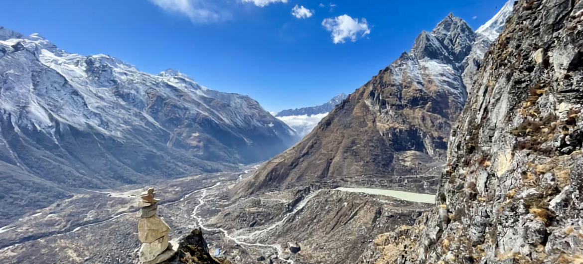
The continents of America and Europe are slowly becoming further apart as the Atlantic gets wider. (Image: Getty)
Beneath the surface of the Earth lie several tectonic plates - large slabs of rock that are constantly on the move, albeit at a very slow rate.
Plate tectonics are constantly changing the Earth as we know it, both with short-term results like earthquakes and volcanoes, but also through building mountains and new land.
Around 300 million years ago, the supercontinent of Pangea existed, which linked the Americas with the rest of Africa and Europe. At the end of the Triassic and the beginning of the Jurassic periods, Pangea began to break up, eventually forming the continents we know today.
Now, new research has found that the plates attached to the Americas are moving apart from those attached to Europe and Africa by an incredible 1.5 inches a year - meaning the Atlantic Ocean is getting wider and wider.
Between these continents lies the Mid-Atlantic Ridge, a site which acts as a dividing line between the two plates. The area is vast - extending 10,000 miles from the Arctic Ocean to the southern tip of Africa.

Upwelling in the Earth's mantle may be pushing the plates from below and pushing the continents apart. (Image: Wikimedia Commons)
This area is known as a divergent plate boundary line, meaning it is a site where the current plates are moving away from each other and new plates are formed between them.
In 2021, a team of seismologists from the University of Southampton discovered that material rising from deep within the Earth’s mantle, about 373 miles below the Mid-Atlantic Ridge, could be pushing upwards and therefore pushing the Earth’s plates - and continents - apart.
Lead author Matthew Agius told Science Daily: "This was a memorable mission that took us a total of 10 weeks at sea in the middle of the Atlantic Ocean. The incredible results shed new light in our understanding of how the Earth interior is connected with plate tectonics, with observations not seen before."
Dr Kate Rychert added: "This was completely unexpected. It has broad implications for our understanding of Earth's evolution and habitability. It also demonstrates how crucial it is to gather new data from the oceans. There is so much more to explore!"
Invalid email
We use your sign-up to provide content in ways you've consented to and to improve our understanding of you. This may include adverts from us and 3rd parties based on our understanding. You can unsubscribe at any time. Read our Privacy Policy
Amidst the frigid expanse of the NorthAtlantic Ocean lies a land of fire and ice – Iceland. This island nation sits right over the Mid-Atlantic Ridge, a divergent plate boundary that extends from the Arctic to the tropics.
The Mid-Atlantic Ridge forms a spectacular underwater… pic.twitter.com/KW4sVZpEXQ
While the Atlantic expands, the Pacific Ocean, meanwhile, is shrinking. Every year, it shrinks by about two-and-half centimetres as the tectonic plates that the Americas sit on are pushed westward.
Eventually, it is understood that the Earth’s tectonic plates will come together against and form a new supercontinent, a process predicted to happen roughly 200 to 300 million years from now, according to research led by Curtin University, Australia.
Slowly and inconspicuously, the current maps of the world are becoming increasingly inaccurate.
"The maps will alter a little bit [for now] and over millions and millions of years will alter significantly," Agius told Live Science.

 1 week ago
8


 English (US) ·